
Multifaceted Perspectives of International Media on the Nepal-China Border Disaster
News Summary
Generated by AI. Editorially reviewed.
- The devastating flood and landslide on October 10, 2026, at the Nepal-China border has claimed more than 700 lives in Nepal, with thousands more missing.
- The disaster resulted from a massive glacier break in the Trishuli and Bhote Koshi river system, affecting tourists and pilgrims from Nepal and various countries.
- Rescue teams from both China and Nepal are continuing search efforts around the Kerung border area. Reconstruction and relief efforts are projected to cost between four to five billion USD.
On the morning of October 10, 2026, a catastrophic flood and landslide struck the Nepal-China border, drawing the attention of major global media outlets. This disaster was caused by a massive glacier break in the Trishuli and Bhote Koshi river system, resulting in over 700 fatalities in Nepal and thousands reported missing.
Among the deceased and missing are Nepali nationals, tourists from countries such as India, the United States, the United Kingdom, Australia, Malaysia, and pilgrims heading to Kailash Mansarovar. Due to the scale and international nature of the tragedy, media worldwide have prioritized coverage of the event.
However, these media outlets have analyzed the disaster from various angles—not only focusing on human suffering and rescue efforts but also reflecting their own geopolitical interests, scientific perspectives, and biases.
In an analysis by American magazine “The New Yorker,” journalist Ishan Tharoor emphasized viewing this disaster not just as a natural calamity but as a symbol of global climate injustice. He highlighted the crucial issue of climate justice, pointing out that although Nepal’s contribution to global emissions is minimal, its rapidly melting glacier systems are forcing the country to bear disproportionate consequences.
Tharoor linked the event to Hindu mythology, citing the story of Lord Shiva holding the River Ganges in his matted locks on Mount Kailash, reflecting the connection between the sacred Himalayan geography and human-induced climate change. He also incorporated views from Indian commentator Brahma Chellaney, who accused China of leveraging control over the Tibetan Plateau for strategic gains, including building dams on cross-border rivers and restricting water resource data during tensions.
“The New York Times” provided detailed scientific insights into the disaster. According to their report, a glacier segment approximately 2,000 feet wide at an altitude of around 17,000 feet broke off and crashed downward, obliterating everything in its path.
Daniel Schugar, a scientist from the University of Calgary in Canada, who analyzed satellite imagery, described the lower region of the affected area as resembling a bomb blast site, with debris filling the landscape. The U.S. Geological Survey (USGS) confirmed that an earthquake measuring 4.4 magnitude initially triggered the landslide, with the actual energy released equivalent to a 5.2 magnitude quake.
Quoting Narindra Pariyar, the Chief District Officer of Rasuwa, The Times noted that no rainfall was recorded in Nepal on October 10, making it impossible to predict such a major disaster.
Indian spiritual guru Sadhguru informed via social media that seventy-seven devotees traveling to Kailash were stuck in immigration centers, with no contact established yet with many of them.
The Times also recalled a similar glacier disaster in Uttarakhand, India, in 2021, which caused over a hundred fatalities.
Tenzing Chogyal Sherpa, a scholar from Utrecht University in the Netherlands, described this as the most devastating flood in the recorded history of the region.
The Guardian approached the disaster primarily from a humanitarian and rescue perspective. It noted that the blockage lake formed after the flood increased the risk of further flooding and complicated rescue efforts. With roads and bridges completely destroyed, reaching remote areas proved extremely difficult for rescue teams, who sometimes had to traverse cliffs on foot or by rope.
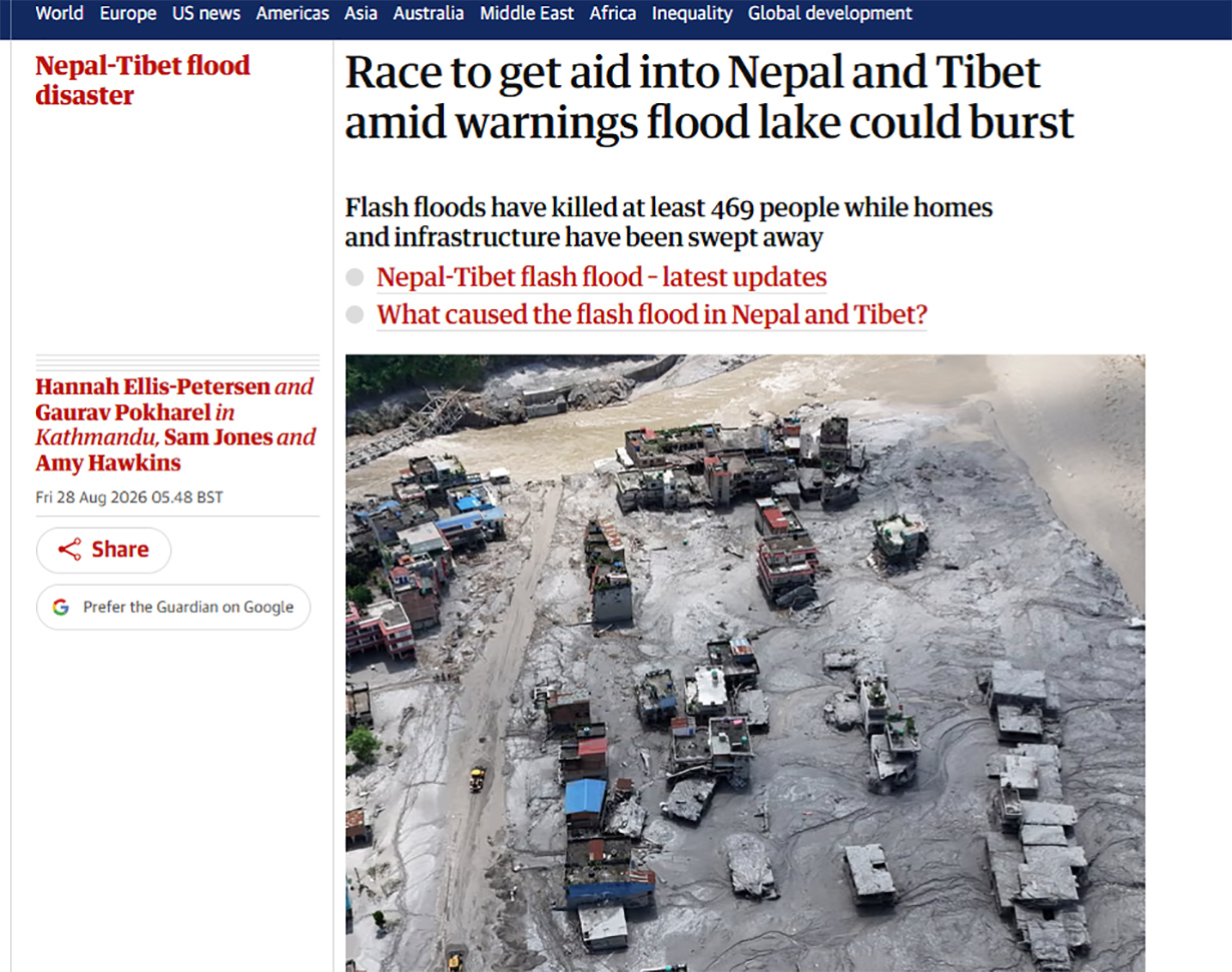
The Guardian also mentioned information control on the Tibetan side, where only state-controlled media have released limited details. It reported that obtaining a full account of the damage remains difficult, raising concerns among human rights groups that death tolls on the Tibetan side may be understated. Heartbreaking scenes of families searching for relatives in hospitals and survivor testimonies featured prominently in their coverage.
Reuters has continuously updated factual data related to the disaster, prioritizing changes in death and missing person counts.
Reuters reported that Chinese rescue teams had reached the Kerung border post but found no significant debris yet. It also shared the touching story of 22-year-old Mati Maya Tamang, who was reunited with her eight-year-old son, Joel Ghale, who survived by fleeing toward the forest and climbing a tree when their school collapsed.
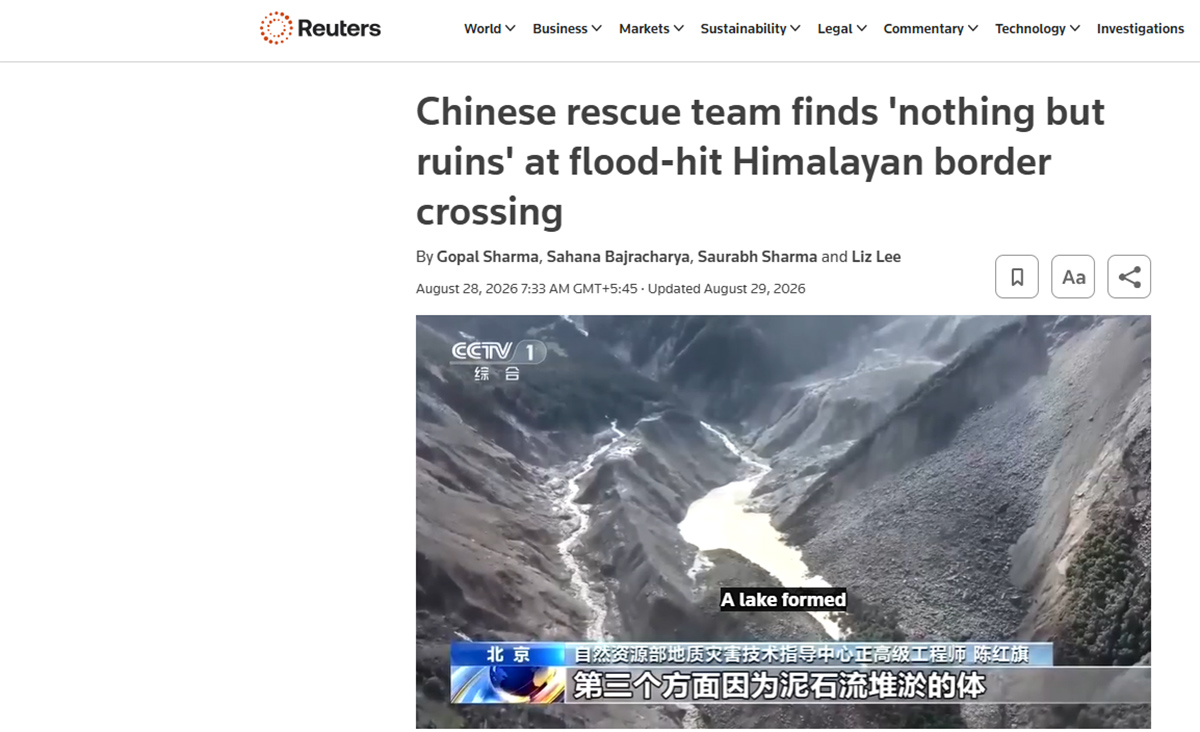
Reuters quoted Nepal’s Finance Minister Swarnim Wagle, who provided tentative estimates that reconstruction would require four to five billion USD. The agency also noted that China’s Politburo, under President Xi Jinping, instructed stricter monitoring of glacial lakes and landslide risks, and enhanced international cooperation.
Additionally, Reuters reported that Chinese Premier Li Qiang personally visited Kerung, signaling the high priority given to the disaster.
Chinese media outlets such as Xinhua, Global Times, and South China Morning Post framed the disaster mainly within the contexts of scientific research, rescue operations, and cross-border cooperation.
South China Morning Post (SCMP) published detailed coverage on China’s deployment of nine tunnel experts to Nepal at its request. Five of these experts were airlifted from the Tibetan Kerung County to a hydropower project near the border, where over 100 people were trapped underground.
The report outlined Chinese efforts to reconstruct the Kerung port access road using sophisticated machinery amid challenging terrain, with soil deposits up to two meters deep posing obstacles. Heavy-lift drones were used to air-drop relief materials, while laser-video monitoring technology helped analyze geological movements.
Quoting senior engineer Chen Hongzhi of China’s Ministry of Natural Resources, SCMP warned that approximately 120,000 square meters near the glacier are currently filling with water, posing additional disaster risks.
Beijing-based satellite companies had redirected six satellites over the disaster zone within hours to capture high-resolution radar images.
A joint border early-warning system developed by Chinese and Nepalese scientists was also highlighted. According to reports, this system issued seven successful early warnings over recent years, though it remains unclear whether it detected any signals before this disaster.
Chinese expert Kang Xichang noted that a lack of sensors in high Himalayan regions can result in delayed warnings if the landslide originates on the Nepalese side, allowing the debris to advance before detection.
Citing research published in the journal Nature Communications, SCMP presented scientific evidence of increasing instability in the Tibetan Plateau.
A study led by physicist Chen Xiaosong from Beijing Normal University projects declining soil moisture and increasing instability on the Tibetan Plateau from 2025 to 2100. The report warns of potential impacts on India as well, emphasizing the need for further investigation.
Chinese media also recalled historical disasters in the same region, including the 1981 break of the Chirunma Tso glacier that destroyed the Nepal-China Friendship Bridge and killed over 200 people, and another incident in 2025 that resulted in 18 deaths.
Most Indian media have tended to interpret the disaster through geopolitical lenses.
India Today highlighted heightened concerns over China’s construction of a massive 60,000-megawatt hydropower project in Medog County, Tibet, located on the Yarlung Tsangpo River near India’s Arunachal Pradesh border. This river is known as the Siang and later the Brahmaputra once it enters India.
The report cited scientific findings from July revealing that the Medog hydropower station sits atop an active fault line, characterizing the project as a “water bomb” due to its location in a seismically sensitive zone.
Some analysts have attributed the severity of the disaster to a lack of early-warning systems in the Himalayan region and Beijing’s reluctance to share hydrological data across borders. India Today included views from former diplomat Rajiv Dogra and Arunachal Pradesh Chief Minister Pema Khandu, both warning that China’s dam could bring significant destruction to Northeast India.
An analysis published by CNBC-TV18 offered a more practical and policy-oriented perspective on the disaster rather than a strictly geopolitical one. It incorporated opinions from environmental activist Vimlendu Jha, Nepalese journalist Shriram Suvedi, and former Director General of the National Disaster Response Force, S. N. Pradhan.
According to Suvedi, the early-warning system was ineffective, allowing only 20 to 30 minutes for people in affected areas to evacuate safely. Pradhan stressed that river systems and natural landscapes do not respect political boundaries and underscored the necessity of real-time information exchange among India, Nepal, and China. Jha pointed out that approximately 25,000 glacial lakes exist in the Himalayas, about 250 of which pose risks to India, criticizing the disregard for geological risks in development projects.
The U.S.-based digital news platform Axios has provided concise yet factual continuous updates, prioritizing numbers of casualties, international aid efforts, and the status of American citizens.
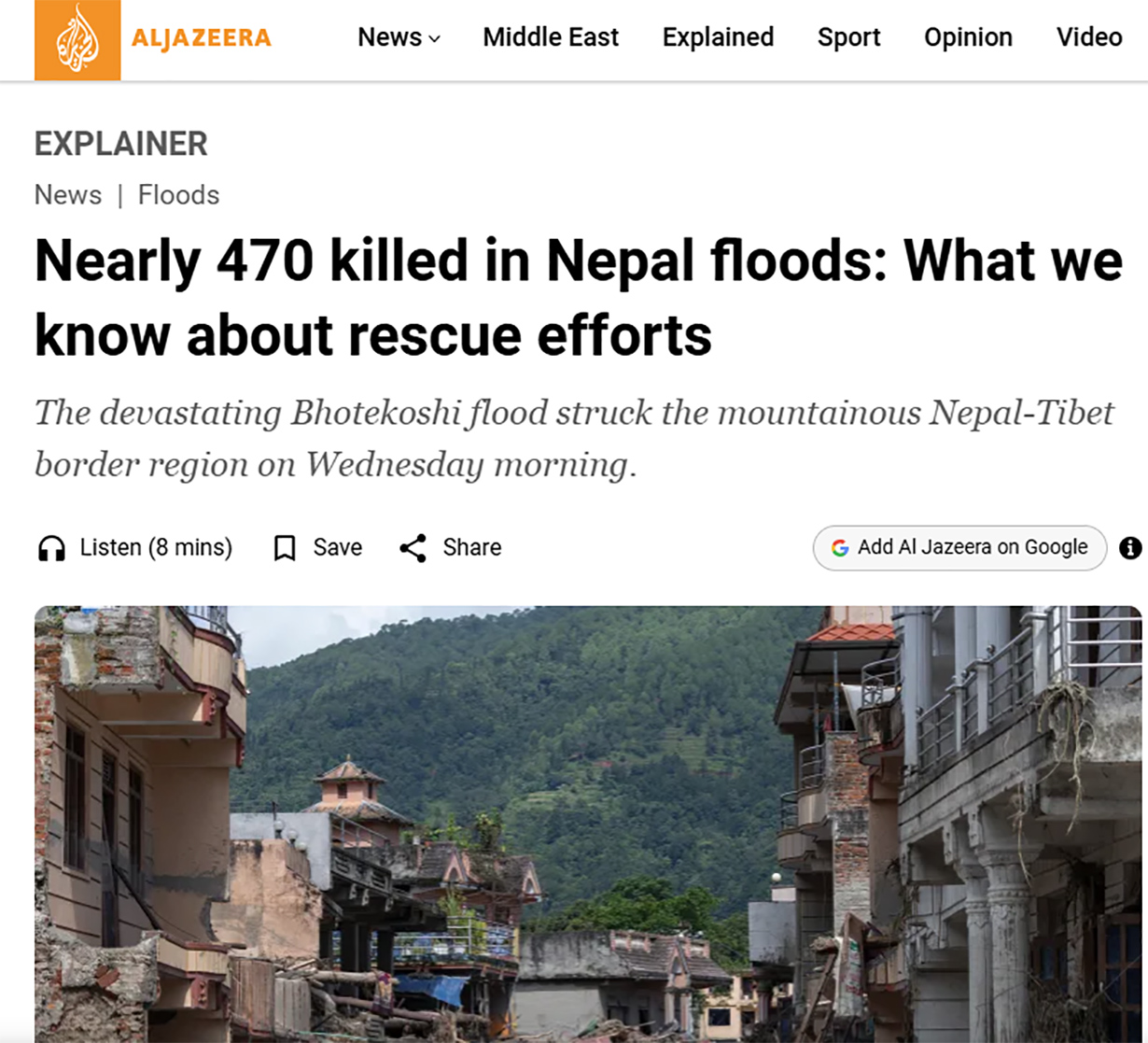
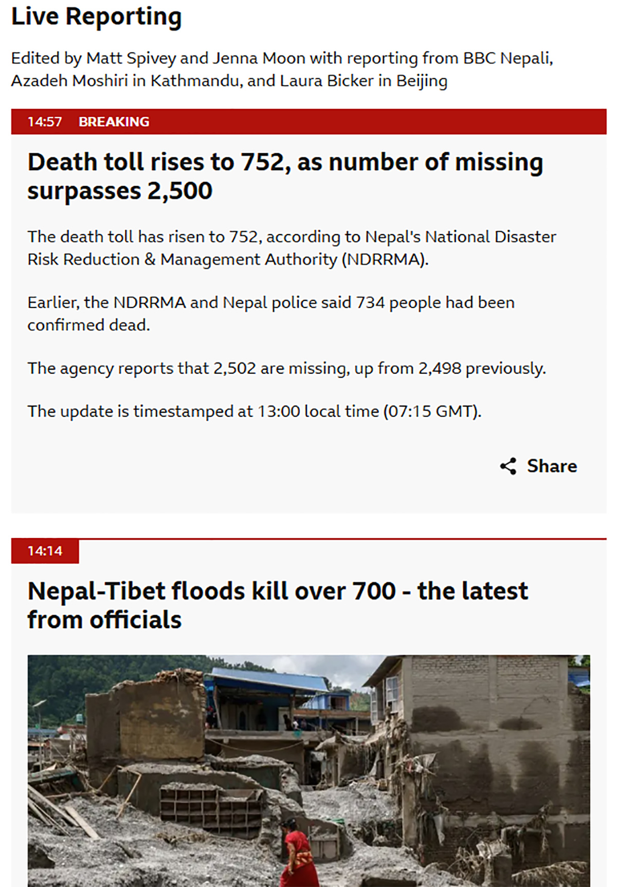
Al Jazeera presented a comprehensive timeline of events and detailed lists of missing foreign nationals by nationality, while also explaining major challenges faced during rescue operations. The BBC, through its live updates, reported a steady increase in death tolls, difficulties in rescue work, and distribution delays of relief materials caused by ongoing rainfall.